The Digital Walters is a branch of The Walters Art Museum Manuscripts Department.
The Digital Walters is a branch of The Walters Art Museum Manuscripts Department.

This is an illuminated and illustrated maritime atlas, referred to as the Walters Deniz atlası. It is an early Ottoman atlas, perhaps dating to the tenth century AH / sixteenth CE. The work contains eight double-page charts executed on parchment. Four of the maps show the Mediterranean, Aegean, and Black seas. There is also a world map and a chart of the Indian Ocean. The various geographical names are written in black nastaʿlīq script. A distinguishing feature of this atlas is the detailed approach to representing such features as city vignettes.
Written in black nastaʿlīq script for geographical names
Principal cataloger: Gacek, Adam
Cataloger: Landau, Amy
Cataloger: Smith, Sita
Editor: Bockrath, Diane
Contributor: Barrera, Christina
Contributor: Emery, Doug
Contributor: Herbert, Lynley
Contributor: Noel, William
Contributor: Simpson, Shreve
Contributor: Tabritha, Ariel
Contributor: Toth, Michael B.
Contributor: Valle, Chiara
Conservator: Jewell, Stephanie
Conservator: Quandt, Abigail
The World Encompassed; An Exhibition of the History of Maps Held at the Baltimore Museum of Art October 7 to November 23, 1952. Organized by the Peabody Institute Library, the Walters Art Gallery, [and] the John Work Garrett Library of the Johns Hopkins University in cooperation with the Baltimore Museum of Art. (Baltimore: Trustees of the Walters Art Gallery, 1952), no. 105.
Goodrich, Th. D. "The Earliest Ottoman Maritime Atlas: The Walters Deniz Atlasi." Archivum Ottomanicum 11 (1986 [1988]): 25-50.
Harley, J. B., and David Woodward. Cartography in the Traditional Islamic and South Asian Societies. (Chicago: University of Chicago Press, 1992), 282.
Soucek, Svat. "The 'Ali Macar Reis Atlas' and the Deniz Kitabi: Their Place in the Genre of Portolan Charts and Atlases." Imago Mundi: The International Journal for the History of Cartography 25, no. 1 (1971): 17-27.
Loupis, Dimitris. "Ottoman Nautical Charting and Miniature Painting: Technology and Aesthetics." In M. Uğur Derman 65th Birthday Festschrift / 65 Yaş Armağanı, ed. İrvin Cemil Schick (İstanbul: Sabancı Üniversitesi, 2000), 369-397, esp. 391.
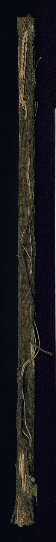
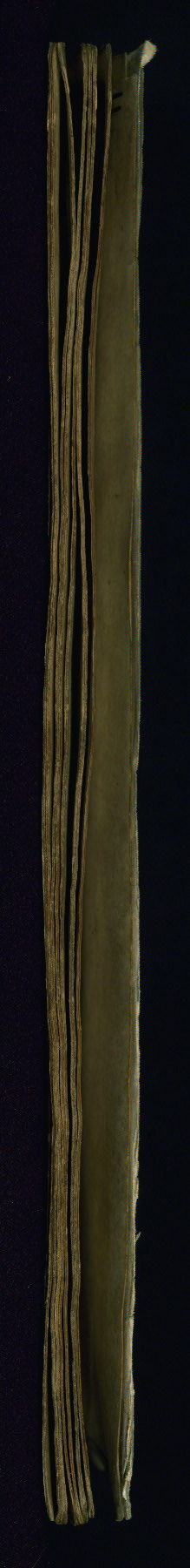
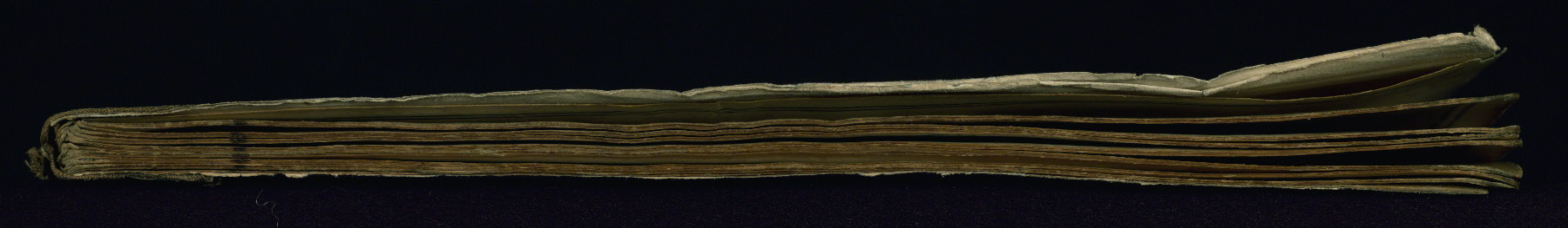
These are pages that we pulled aside that disrupted the flow of the manuscript reader. These may be bindings, inserts, bookmarks, and various other oddities.
Turkey
10th century AH / 16th CE
book
The primary language in this manuscript is Turkish, Ottoman (1500-1928).
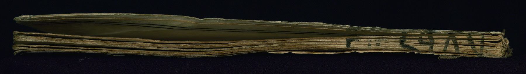
Old shelf mark on the tail edge reading 2987
Walters Art Museum, 1931, by Henry Walters bequest
Turkey
10th century AH / 16th CE
book
The primary language in this manuscript is Turkish, Ottoman (1500-1928).
Old shelf mark on the tail edge reading 2987
Walters Art Museum, 1931, by Henry Walters bequest
This is an illuminated and illustrated maritime atlas, referred to as the Walters Deniz atlası. It is an early Ottoman atlas, perhaps dating to the tenth century AH / sixteenth CE. The work contains eight double-page charts executed on parchment. Four of the maps show the Mediterranean, Aegean, and Black seas. There is also a world map and a chart of the Indian Ocean. The various geographical names are written in black nastaʿlīq script. A distinguishing feature of this atlas is the detailed approach to representing such features as city vignettes.
Written in black nastaʿlīq script for geographical names
Principal cataloger: Gacek, Adam
Cataloger: Landau, Amy
Cataloger: Smith, Sita
Editor: Bockrath, Diane
Contributor: Barrera, Christina
Contributor: Emery, Doug
Contributor: Herbert, Lynley
Contributor: Noel, William
Contributor: Simpson, Shreve
Contributor: Tabritha, Ariel
Contributor: Toth, Michael B.
Contributor: Valle, Chiara
Conservator: Jewell, Stephanie
Conservator: Quandt, Abigail
The World Encompassed; An Exhibition of the History of Maps Held at the Baltimore Museum of Art October 7 to November 23, 1952. Organized by the Peabody Institute Library, the Walters Art Gallery, [and] the John Work Garrett Library of the Johns Hopkins University in cooperation with the Baltimore Museum of Art. (Baltimore: Trustees of the Walters Art Gallery, 1952), no. 105.
Goodrich, Th. D. "The Earliest Ottoman Maritime Atlas: The Walters Deniz Atlasi." Archivum Ottomanicum 11 (1986 [1988]): 25-50.
Harley, J. B., and David Woodward. Cartography in the Traditional Islamic and South Asian Societies. (Chicago: University of Chicago Press, 1992), 282.
Soucek, Svat. "The 'Ali Macar Reis Atlas' and the Deniz Kitabi: Their Place in the Genre of Portolan Charts and Atlases." Imago Mundi: The International Journal for the History of Cartography 25, no. 1 (1971): 17-27.
Loupis, Dimitris. "Ottoman Nautical Charting and Miniature Painting: Technology and Aesthetics." In M. Uğur Derman 65th Birthday Festschrift / 65 Yaş Armağanı, ed. İrvin Cemil Schick (İstanbul: Sabancı Üniversitesi, 2000), 369-397, esp. 391.
These are pages that we pulled aside that disrupted the flow of the manuscript reader. These may be bindings, inserts, bookmarks, and various other oddities.
Clear All